 Climate Home Atlas
A field atlas of eastern Australia
Where would you choose to live?
Follow the coast into the highlands. Compare climate, terrain and fire history, then see how the same places look under a different climate scenario.
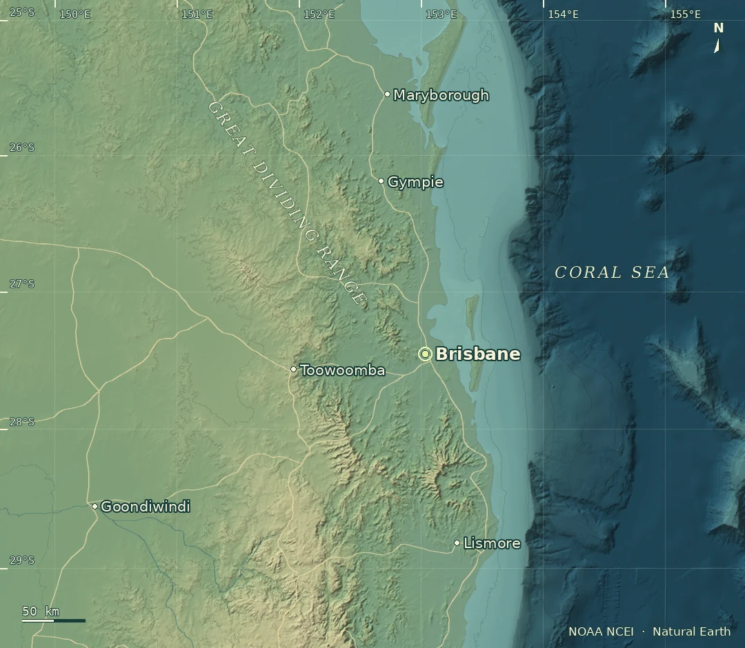
Interactive map
Regional explorer
Choose a region, set the conditions and inspect a cell. Each climate square spans one degree of latitude and longitude.
to
Select a cell to inspect its evidence.
MapLibre · Beck et al. · NOAA NCEI · Natural Earth · GLC_FCS30D · GFED5Map credits
Matching cells
Up to five matches, warmest annual mean first.
Selected grid cell
Inspect a cell
Behind the map
Inside the atlas
Joining climate grids, elevation samples and fire records raises a practical question. What can a match tell you when each source measures a different area?
Read the engineering case study